India is a federal union made up of 28 states as well as 9 union territories. In this article, we will look at the each of the 28 states in India, their names and other fun facts about them.
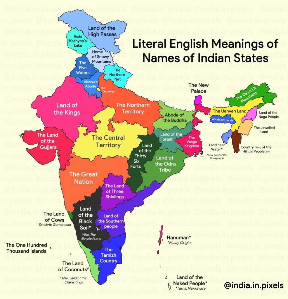
The 28 States of India
| Name of the State | Capital City | Official Languages |
| Andhra Pradesh | Amaravati | Telugu |
| Arunachal Pradesh | Itanagar | English |
| Assam | Dispur | Assamese |
| Bihar | Patna | Hindi |
| Chhattisgarh | Raipur | Chhattisgarhi |
| Goa | Panaji | Konkani |
| Gujarat | Gandhinagar | Gujarati |
| Haryana | Chandigarh | Haryanvi |
| Himachal Pradesh | Shimla | Hindi |
| Jammu and Kashmir | Srinagar (summer), Jammu (winter) | Urdu |
| Jharkhand | Ranchi | Hindi |
| Karnataka | Bengaluru | Kannada |
| Kerala | Trivandrum | Malayalam |
| Madhya Pradesh | Bhopal | Hindi |
| Maharashtra | Mumbai | Marathi |
| Manipur | Imphal | Meiteilon (Manipuri) |
| Meghalaya | Shillong | English |
| Mizoram | Aizawl | Mizo |
| Nagaland | Kohima and Dimapur | English |
| Odisha | Bhubaneswar | Oriya |
| Punjab | Chandigarh | Punjabi |
| Rajasthan | Jaipur | Hindi |
| Sikkim | Gangtok | Nepali |
| Tamil Nadu | Chennai | Tamil |
| Telangana | Hyderabad | Telugu, Urdu |
| Tripura | Agartala | Bengali |
| Uttar Pradesh | Lucknow | Hindi |
| Uttarakhand | Dehradun | Hindi |
| West Bengal | Kolkata | Bengali |
Union territories of India
| Union territory | Capital and official languages |
| Andaman and Nicobar Islands | Port Blair – English, Hindi |
| Chandigarh | Chandigarh – Punjabi |
| Dadra and Nagar Haveli | Silvassa – Gujarati, Hindi |
| Daman and Diu | Daman – English, Gujarati, Hindi, Konkani |
| Delhi | New Delhi – Hindi |
| Jammu and Kashmir (as of 31 October 2019) | Srinagar |
| Ladakh (from 31 October 2019) | Leh – Ladakhi |
| Lakshadweep | Kavaratti – Malayalam |
| Puducherry | Pondicherry – English, Tam |
A brief history of the states of India
India was split into 565 princely kingdoms prior to independence. These indigenous princely republics believed in self-government, which posed the greatest challenge to the development of a strong India. However, between 1947 and 1950, the princely kingdoms’ lands were politically absorbed into the Indian union. Most were absorbed into existing provinces, while others, such as Rajasthan, Himachal Pradesh, Madhya Bharat, and Vindhya Pradesh, were organised into new ones.
The new Indian Constitution, which went into effect on January 26, 1950, established India as a sovereign democratic republic. In addition, the new republic was declared to be a “Union of States.” The 1950 laws defined three types of states: firstly, the Territories of British India, secondly, the Princely states,’ and lastly the French and Portuguese colonial territories.
After India’s independence, 562 princely kingdoms (all except for Hyderabad, Junagadh, Bhopal, as well as Kashmir) agreed to join the Indian federation. Furthermore, the borders of Indian states have continued to change year after year. Thus, India went from 565 princely states and 17 provinces to 14 states and 6 Union Territories following the Reorganisation of States in 1956, to 29 states and 7 union territories in 2014, and now to 28 states and 9 Union Territories following the split of Jammu and Kashmir.
Names of all the states in India with some Interesting facts about them
1. Uttar Pradesh (1950)
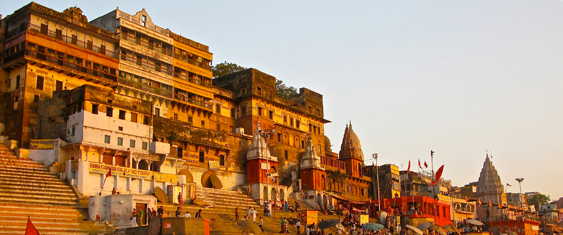
Before becoming Uttar Pradesh in 1950, it was known as the United Provinces. It came to be by combining the territories of Oudh and Agra. It is the most populous state in India as well as the world’s most populous country subdivision. Furthermore, the state split into 18 divisions as well as 75 districts, with Lucknow acting as the state capital and Allahabad serving as the judicial capital.
The state also has two large rivers, the Ganges and its tributary Yamuna, which meets at Allahabad’s Triveni Sangam, a Hindu pilgrimage site.
2. Bihar (1950)
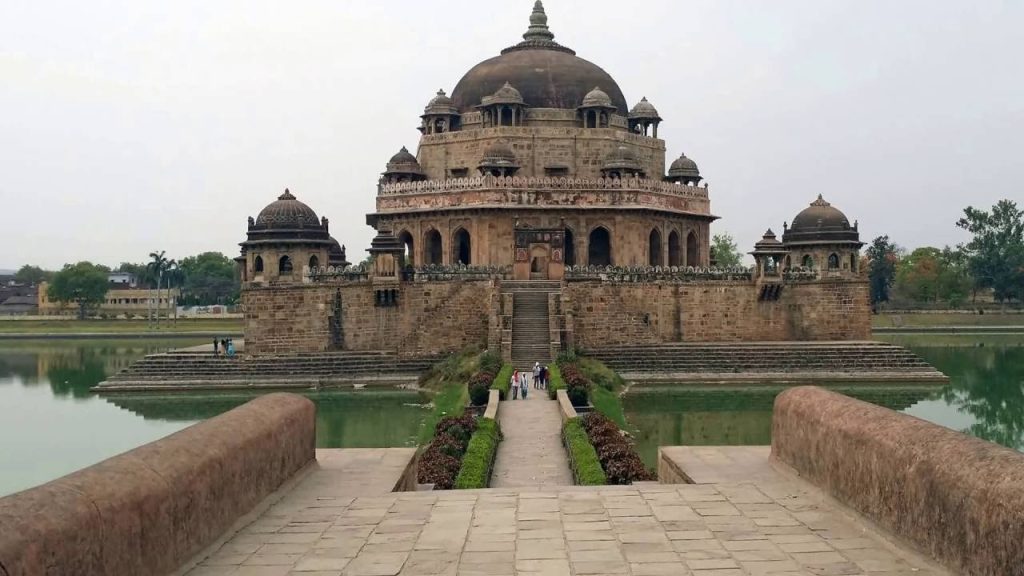
Although the English established this state on March 22, 1912, it did not get complete sovereignty until January 26, 1950. Additionally, it split in 2000, with the creation of a new state known as Jharkhand.
With an area of 94,163 km2, it is the third-largest state in terms of people and also the twelfth-largest in terms of territory. The territory that is now Bihar was a centre of power, learning, and culture in ancient and classical India.
3. Assam (1950)
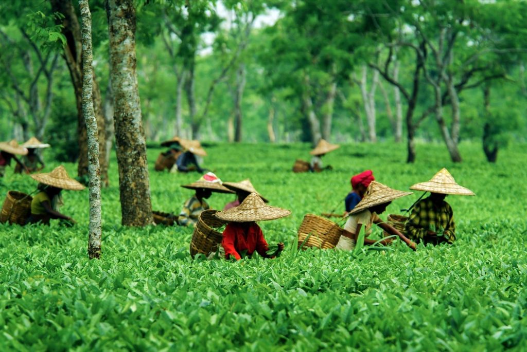
In 1826, Assam became a British protectorate. Then, it was reorganised as Assam province under British administration in 1912. However, it gained full independence only on January 26, 1950. Assam is well-known for its silk as well as Assam tea. Wildlife tourism is also quite popular in the state.
4. Odisha (1950)
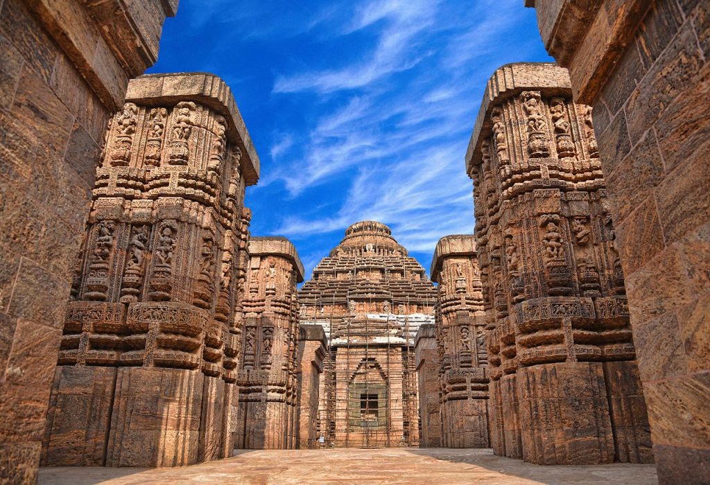
The British established Orissa as a distinct province on April 1, 1936. It became a state in 1950. In 2011, it was renamed Odisha. It is the eighth-largest state by land area and the eleventh-largest by population. The location, also known as Utkala, appears in India’s national hymn, “Jana Gana Mana.”
5. Tamil Nadu (1950)
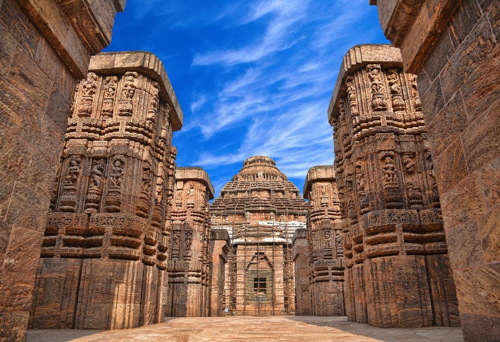
Previously known as the Madras Presidency, it was reformed as a state in 1950 and renamed Tamil Nadu in 1969. Chennai is the capital as well as the largest metropolis in the nation. The state is home to the Tamil people, whose Tamil language, is one of the world’s longest surviving classical languages. Numerous regimes, including the Sangam age kings of the Chera, Chola, and Pandya clans, the Pallava dynasty, and the later Vijayanagara Empire dominated the state, all of which influenced the state’s food, culture, and architecture.
6. Andhra Pradesh (2017)
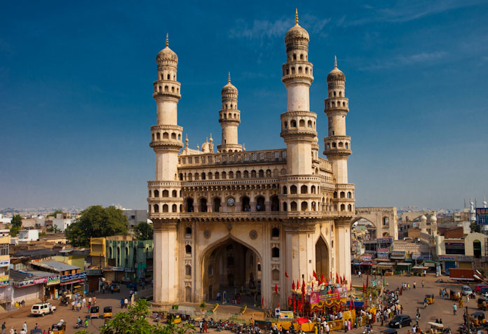
Andra Pradesh was granted statehood on November 1, 1956. However, on June 2, 2014, the northwestern section of the state split apart to form Telangana and Andra Pradesh.
It is the seventh-largest state by area, encompassing 162,975 square kilometres, as well as the tenth-most populated state. There are 49,386,799 inhabitants, with Amaravati serving as the state capital.
Andhra Pradesh was historically a prominent Buddhist pilgrimage location in the country as well as a Buddhist learning centre, as shown by monastery ruins, chaityas, and stupas found throughout the state. It is also the largest producer of rice, dubbed the “rice bowl of India”.
7. Madhya Pradesh (1956)
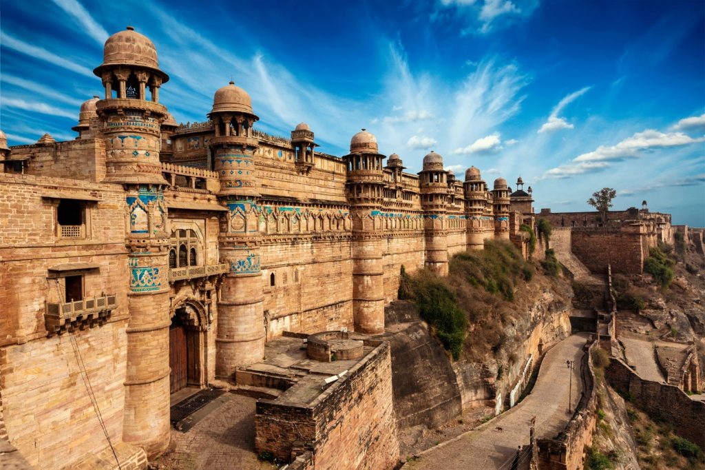
Madhya Pradesh was established in 1956. In 2000 the state split, with Chhattisgarh becoming a separate state.
Its capital is Bhopal, and its main city is Indore, with other significant cities include Jabalpur, Ujjain, Gwalior, as well as Satna. With nearly 72 million citizens, Madhya Pradesh is the second biggest Indian state by land as well as the fifth-largest by population. Furthermore, the state is rich in mineral resources, including the greatest deposits of diamond and copper in India.
8. Kerala (1956)
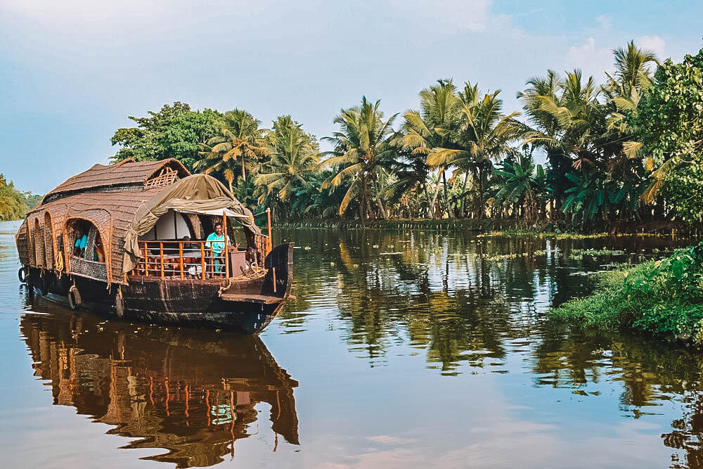
In 1956, the former states of Travancore, Cochin, as well as Malabar combined to become the state of Kerala, and on November 1, 1956, it gained full statehood.
Kerala is the twenty-first biggest Indian state by area, covering 38,863 km2. Furthermore, Kerala has the lowest positive population growth rate in India which is 3.44 per cent as well as the highest Human Development Index (HDI) of 0.784 in 2018. In addition, it is the state with the highest literacy rate of 96.2 per cent according to the National Statistical Office of India’s 2018 literacy survey.
9. Karnataka (1956)
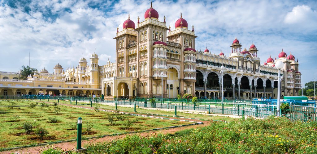
Mysore State was established on November 1, 1956. However, in 1973, the state was renamed Karnataka. The state encompasses 191,791 square kilometres or 5.83 per cent of India’s total area. Furthermore, it is the sixth-largest Indian state in terms of land area.
Karnataka has been home to some of the greatest ancient as well as mediaeval empires. Furthermore, the patrons of philosophers and musical bards generated social, religious and literary movements that have lasted to the current day. Karnataka has also made major contributions to both the Carnatic and Hindustani genres of Indian classical music.
10. Maharashtra (1960)
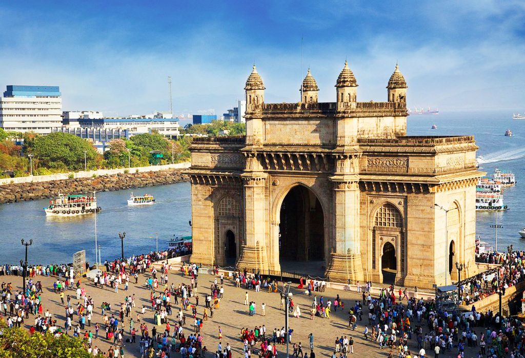
Maharashtra was a part of the Bombay Province. The state became independent on May 1, 1960. Maharashtra is India’s third-largest state by land, covering 307,713 km2. Approximately 60% of the total land in Maharashtra is for grain crops such as millets in the Deccan region and rice in the coastal Konkan and other heavy rainfall areas. Furthermore, Maharashtra protects its tigers legally through six dedicated tiger reserves under the auspices of the National Tiger Conservation Authority.
11. Arunachal Pradesh (1987)
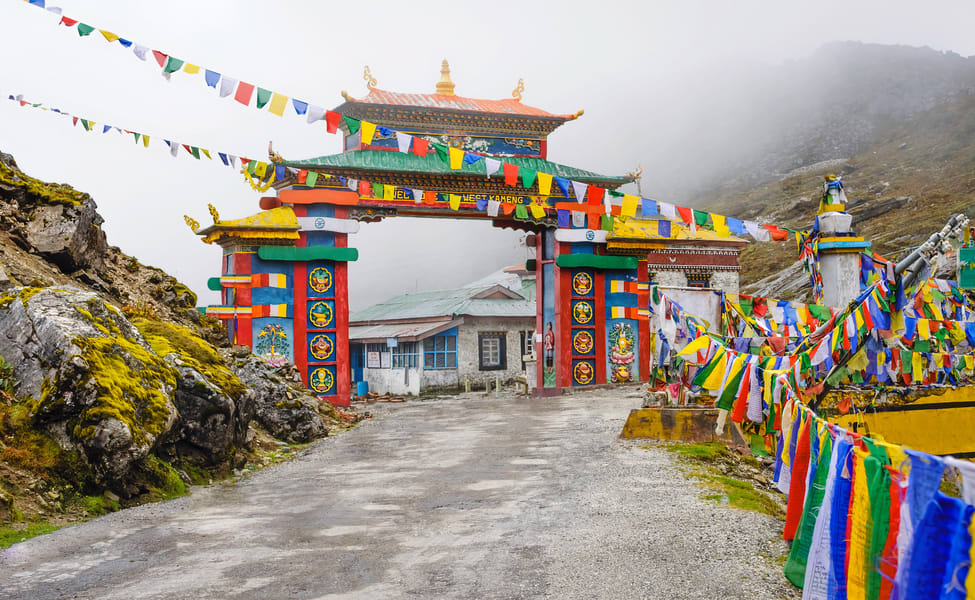
It became a Union Territory in 1972 and then an independent state of India in 1987, with Itanagar as its capital. It is an ethnically varied state, with Monpa people predominating in the west, Tani people in the middle, Mishmi as well as Tai people in the east, and Naga people in the southeast. Overall, the state is home to around 45 tribes or sub-tribes.
12. Gujarat (1960)
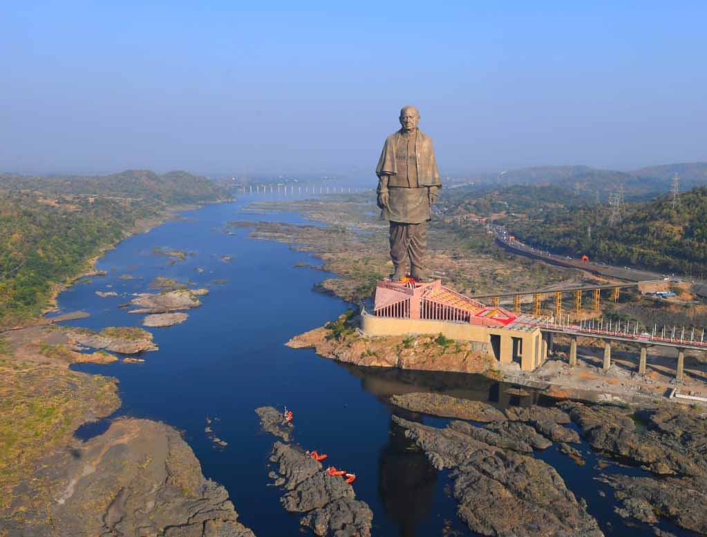
In British India, Gujarat was part of the Bombay Presidency, but on May 1, 1960, it was split and constituted as an independent state. It is the fifth-largest Indian state in terms of land area as well as the ninth-largest in terms of population. The state has minimal unemployment and is largely regarded as one of India’s most industrially developed states as well as a goods production centre. Furthermore, the state is well-known for its Asian lions.
13. Nagaland (1963)
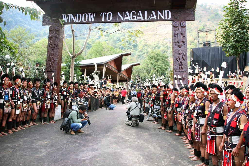
This state was established on December 1, 1963. It has a land area of 16,579 square kilometres, with Kohima as its capital. Furthermore, it has a population of 1,980,602 people, making it one of India’s smallest states. Agriculture is its most significant economic activity, accounting for more than 70% of its GDP. Forestry, tourism, insurance, real estate, as well as a variety of small businesses are also a part of the state’s economy.
14. Punjab (1966)
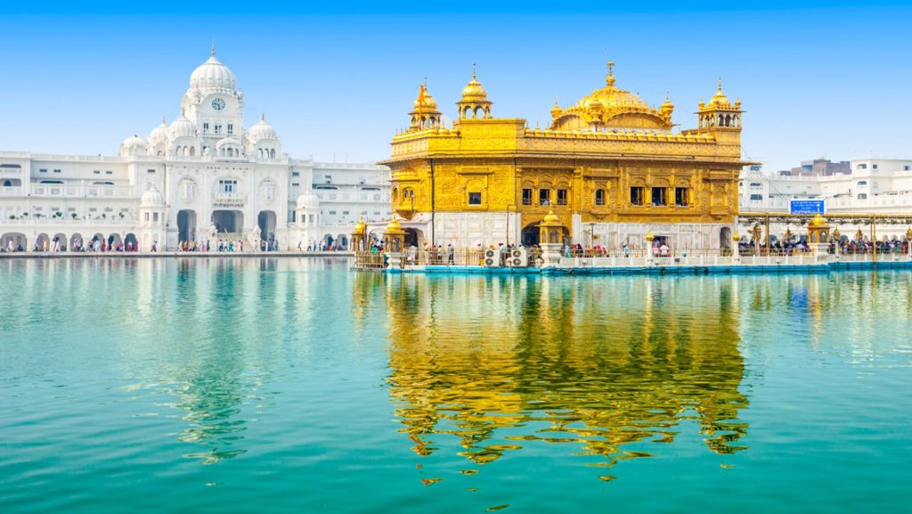
This state came from the union of the princely state of Patiala with eight other similar states. The state encompasses 50,362 square kilometres, accounting for 1.53 per cent of India’s total geographical area. It is the 20th-largest Indian state in terms of land area. Furthermore, Punjab, with a population of about 27 million people and 23 districts, is the 16th-largest state in terms of population. The Sutlej, Ravi, Beas, Chenab, and Jhelum rivers are tributaries of the Indus River, from which the area takes its name, Of these, the Sutlej, Ravi, and Beas rivers run through Indian Punjab.
15. Mizoram (1987)
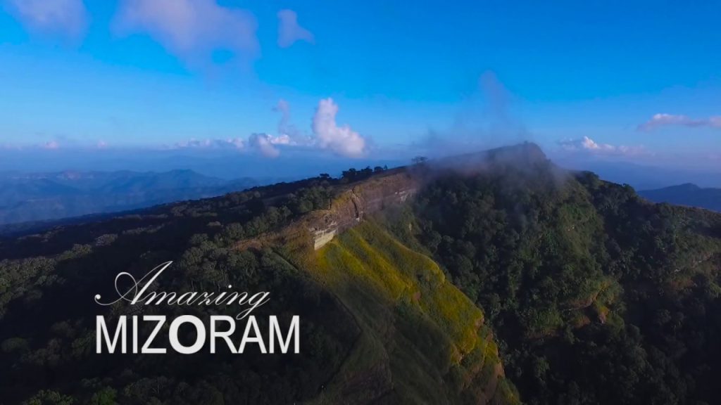
It became a state on February 20, 1987. Originally, it was an Assam district. It was established as a Union Territory in 1972, but the Mizo National Front resisted it, and it eventually gained complete independence, with Aizawl as its capital.
The name of the state is derived from “Mizo,” the local population’s self-described name, and “Ram,” which means “land” in Mizo. Mizoram, like several other northeastern Indian states, was historically a part of Assam until 1972, when it was split away as a Union Territory.
16. Himachal Pradesh (1971)
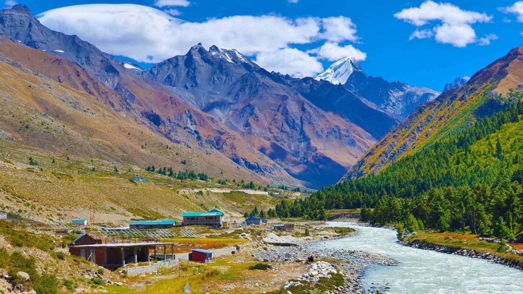
Himachal Pradesh was formed in 1950 by the union of 30 princely republics and was designated as a Union Territory in 1956. On January 25, 1971, Himachal Pradesh was awarded full statehood.
It is one of the thirteen mountain states in the Western Himalayas, with an beautiful terrain that includes multiple peaks as well as significant river systems. Himachal Pradesh is also known as Dev Bhoomi, which translates as “Land of God” and Veer Bhoomi, which translates as “Land of Braves.” Agriculture, hydropower, and tourism are significant economic drivers in the state.
17. Chhattisgarh (2000)
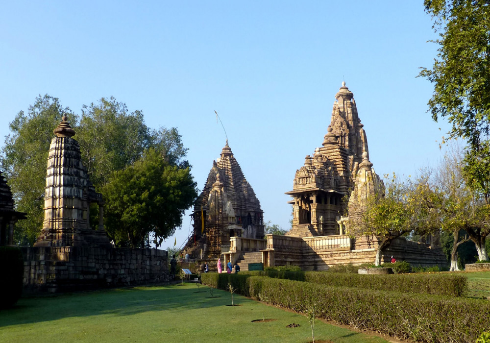
On November 1, 2000, this state was divided from a portion of Madhya Pradesh, with Raipur as its capital city.
Following the ‘Swachh Survekshan 2020,’ it once again gained the title of the cleanest state, with more than 100 Urban Local Bodies, as declared by Minister for Housing and Urban Affairs Hardeep Singh Puri.
18. Jharkhand (2000)
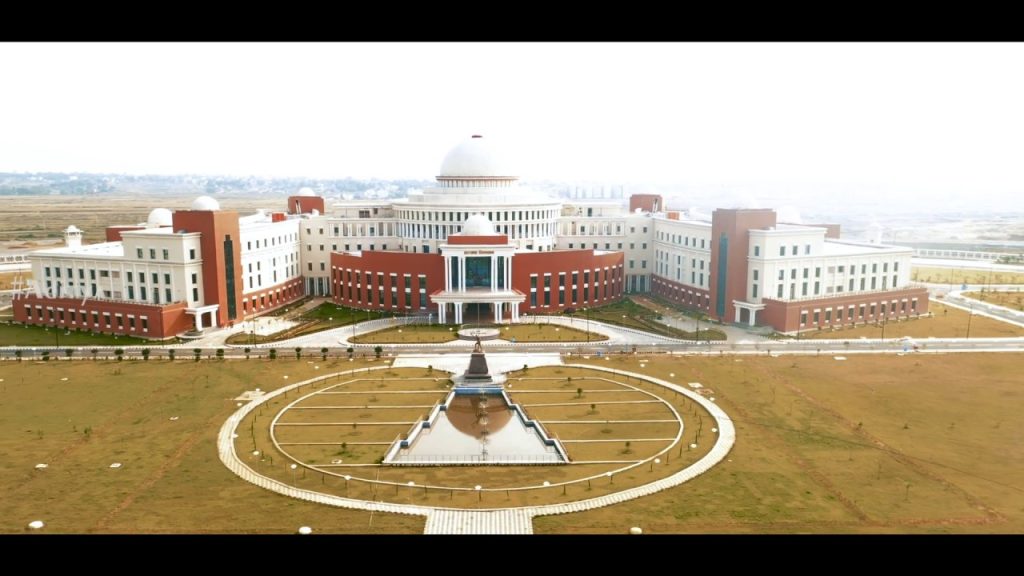
On November 15, 2000, this tribal-dominated state was split from Bihar and granted full sovereignty. It covers an area of 79,710 km2 and thus, is the 15th biggest state in terms of land area. Additionally, it is the 14th largest in terms of population.
Jharkhand accounts for more than 40% of India’s natural resources, however, 39.1% of its citizens still live in poverty, and 19.6% of children under the age of five are starving.
19. Manipur (1972)
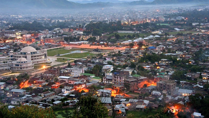
Manipur gained independence from India in 1947. It became a Union Territory in 1956 and became full independence on January 21, 1972. Furthermore, Mary Kom, a well-known boxer, is from this state.
The state has a population of almost 3 million people, including the Meitei, who are the dominant group in the state, Meitei Pangals, Naga tribes, Kuki/Zo tribes, as well as other populations that speak a range of Sino-Tibetan languages. Additionally, Manipur’s economy is predominantly agricultural, with great hydroelectric power generating potential.
20. Uttarakhand (2000)
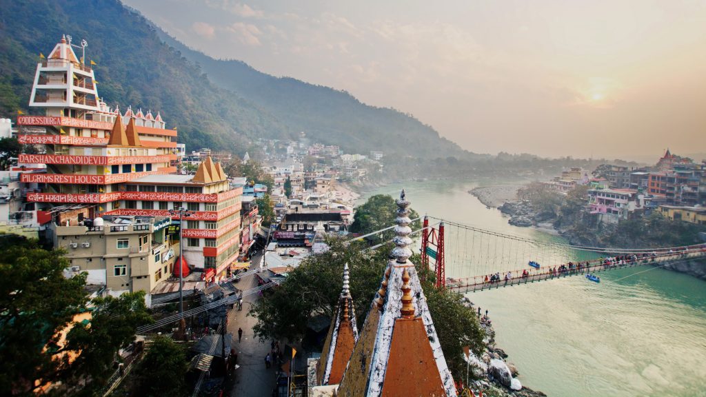
This state was founded by combining various districts of Uttar Pradesh under the name Uttranchal, but it was renamed Uttarakhand in 2007.
Due to its religious significance as well as the numerous Hindu temples and pilgrimage centres scattered across the state, it is commonly referred to as the “Devbhumi”, meaning “Land of the Gods”.
21. Meghalaya (1972)
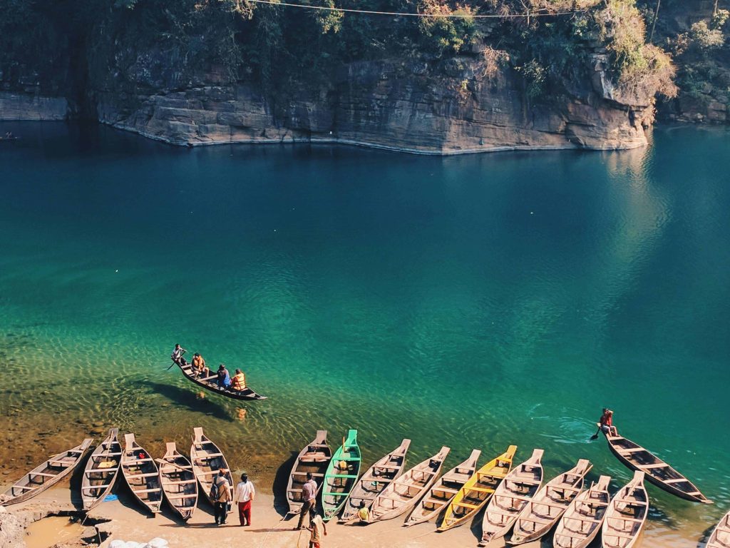
In 1970, Meghalaya was established as an independent state inside Assam. However, only on January 21, 1972, did it become a distinct state.
Meghalaya was founded by splitting away two districts from the state of Assam: the United Khasi Hills and Jaintia Hills, as well as the Garo Hills. Shillong is the state’s capital. Meghalaya has a land area of around 22,430 square kilometres. Furthermore, the economy of the state is derived from agriculture, with a sizable commercial forestry industry. Potatoes, rice, maize, pineapples, bananas, papayas, as well as spices are amongst the most significant crops grown in the state.
22. Telangana (2014)
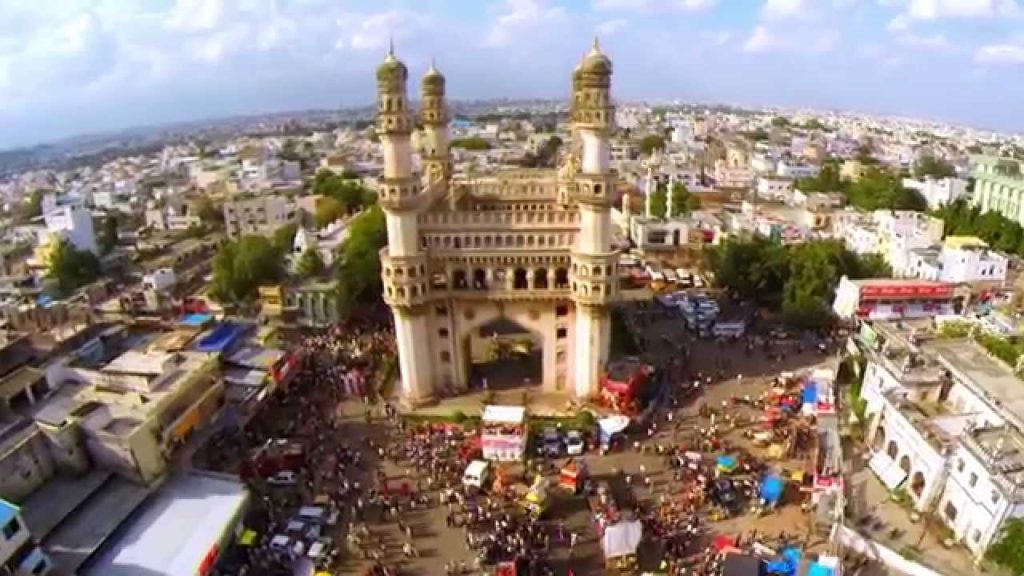
This is India’s 29th state. It is created by combining various districts from Andhra Pradesh and on June 2, 2014, it was granted full statehood.
It is India’s eleventh-largest and twelfth-most populous state, with a geographical area of 112,077 km2 with Hyderabad as its capital. Furthermore, Telangana’s geography is largely made up of the Deccan Plateau and deep forests, and it has an area of 27,292 km2. Additionally, Telangana is one of the UNESCO Creative Cities of Gastronomy and World Heritage Sites because of its Hyderabadi food as well as Kakatiya architecture, respectively.
23. West Bengal (1950)
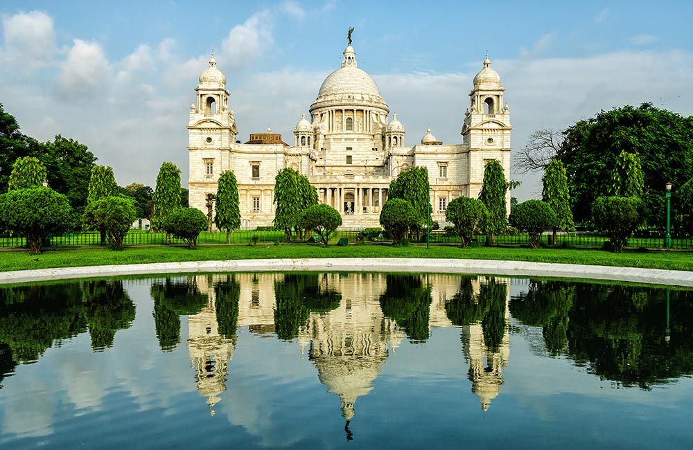
It is India’s fourth-most populated state as well as fourteenth-largest by land. With a population of about 91 million people. Its capital, Kolkata, is India’s third-largest metropolis as well as the seventh-largest city by population.
The area was a centre of the Indian independence struggle and has remained one of India’s most important cultural and analytical centres.
24. Tripura (1972)
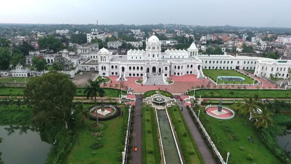
Surrounded on three sides by Bangladesh, Tripura was a Union Territory until 1972, when it became an independent state. It is the third-smallest state in the country, with a total area of 10,491.69 km2.
Agartala, the capital, is located on a plain to the west. Furthermore, the Boromura, Atharamura, Longtharai, Shakhan, and Jampui Hills mountain ranges stretch north to south, with valleys in between. The state has a tropical savanna climate and experiences significant rains from the southwest monsoon seasonally.
25. Rajasthan (1949)
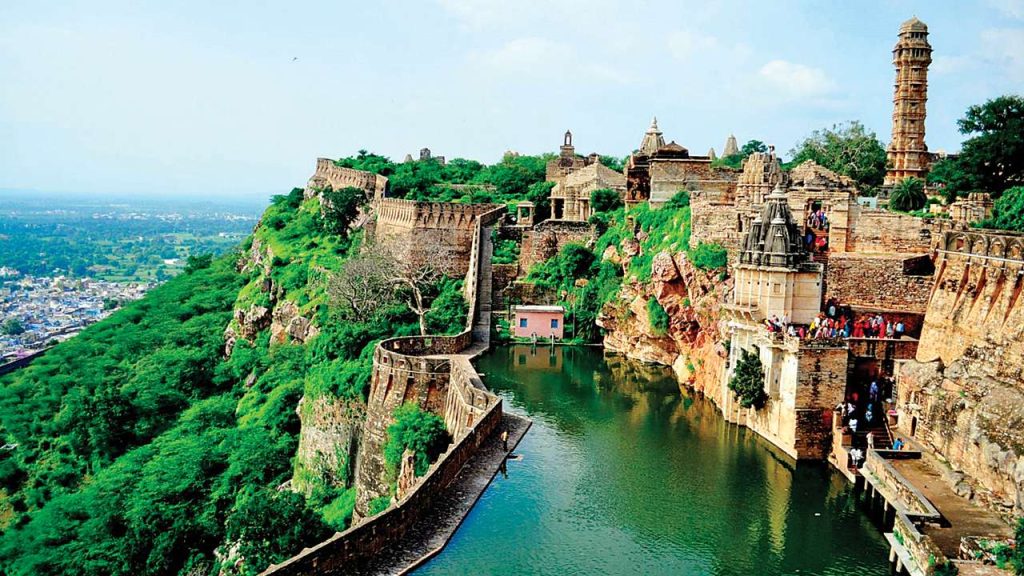
The state encompasses 342,239 square kilometres or 10.4 per cent of India’s total land area. It is the largest Indian state in terms of land area as well as the sixth-largest in terms of population. Furthermore, it encompasses the vast and unforgiving Thar Desert.
The ruins of the Indus Valley Civilisation at Kalibangan as well as Balathal and the Dilwara Temples, a Jain pilgrimage site at Rajasthan’s only hill station, Mount Abu are popular tourist spot. Furthermore, the Keoladeo National Park of Bharatpur, a World Heritage Site known for its birdlife is also located in Rajasthan. It also has three national tiger reserves, including the Ranthambore National Park in Sawai Madhopur, the Sariska Tiger Reserve in Alwar, and the Mukundra Hills Tiger Reserve near Kota.
26. Haryana (1966)
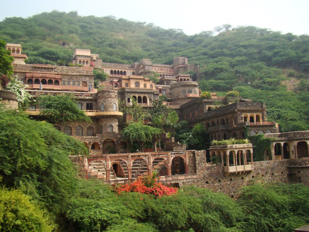
On November 1, 1966, it was created out of the previous state of East Punjab on linguistic grounds. It ranks 21st in terms of land area, accounting for less than 1.4 per cent of India’s total land area. Furthermore, the state capital is Chandigarh, the most populated city in Faridabad. Gurgaon, a city in Haryana, is one of the most important financial and technological centres in India.
27. Sikkim (1975)
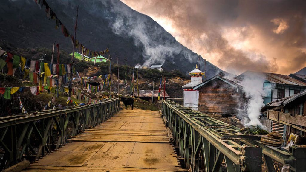
Sikkim, a landlocked state, is India’s second-smallest state. On May 16, 1975, Sikkim united with the Indian Union. It is the least populated as well as the second smallest state in India. Sikkim is known for its biodiversity, encompassing alpine and subtropical temperatures, as well as being home to Kangchenjunga, India’s highest mountain and the third-highest on the planet. Gangtok is the capital as well as the biggest city in Sikkim.
28. Goa (1987)
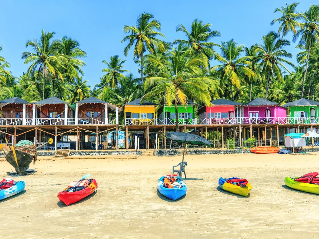
Even after Indian independence, this state was ruled as a Portuguese colony, but after being seized by the Indian Army in 1961, it became a Union Territory together with Daman and Diu. Goa became a state on May 30, 1987.
It is India’s smallest state in terms of land and the fourth-smallest in terms of population. Furthermore, Goa has the greatest GDP per capita of any Indian state, more than two and a half times that of the country as a whole.
FAQs
1. Is Jammu and Kashmir a state?
The Jammu and Kashmir Reorganisation Act, 2019, which was enacted by both houses of India’s Parliament in August 2019, included provisions for the establishment of the union territory of Jammu and Kashmir. With effect from October 31, 2019, the legislation reconstituted the erstwhile state of Jammu and Kashmir into two union territories, Jammu and Kashmir as well as Ladakh.
2. Is Delhi going to be a state or a union territory in 2021?
Delhi, formally the National Capital Territory of Delhi (NCT), is an Indian city and union territory that includes New Delhi, the country’s capital. It is located along the Yamuna River and is bounded on three sides by Haryana and on the east by Uttar Pradesh.
3. What is the name of Ladakh’s capital?
Leh is the capital of the Himalayan province of Ladakh, which is today known as the Leh District in the Indian state of Jammu and Kashmir.
4. Which state in India is the wealthiest?
Maharashtra is India’s wealthiest state. Mumbai, the state capital, is also known as the country’s economic hub. Maharashtra’s total GDP is 27.96 lakh crore.
Share with your friends

